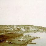
1913
The Dominion Land Survey
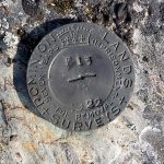
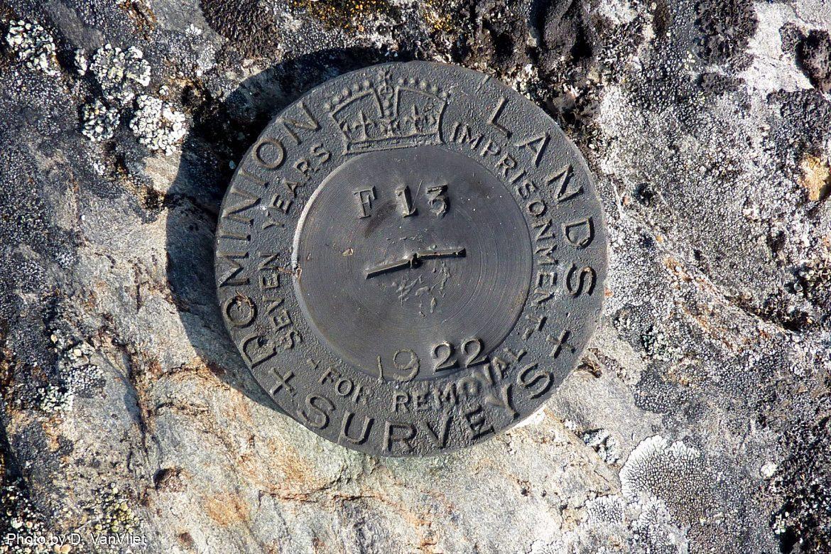
The Dominion of Canada, newly independent in 1867, began a series of land surveying projects to define the land according to British practices. The program resulted in lines on maps and tracks of land cleared for the survey lines. The resultant ongoing land dispossession by the colonial enterprise was part of the Dominion’s program of nation-building. Land surveying and geological mapping were carried out in the NWT without consulting the Dene or Métis about their traditional land use. Starting in 1913, the Dominion tried to locate Treaty 8 promised reserve lands as well as recognize existing housing locations in the Mackenzie River communities. The efforts did not serve anyone well, as Canada’s land management practices were modelled on prairie farmlands. These surveyed reserve lands were placed on rocky outcrops, swampland and generally undesirable parcels. Both the government and the Dene rejected the attempt to formalize the land agreements.
Unrest over the land survey scheme was partially responsible for the Treaty boycott at Fort Resolution in 1916. Pierre Smallnose Drygeese was there and recalled what happened. “So Chief Susie Drygeese and Gus (Card) talk about land… They started to talk back and forth with Gas (Gus) but Gas won’t listen to what Susie tells him and Susie says, ‘If you don’t want to listen to what I said, no use arguing around like this, might as well go home,’ and then the old man rushed out” (Fumoleau, 2004, p. 145).
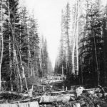
Land surveying continued up and down the Mackenzie River, primarily focused on resource identification and claim staking. In 1913 three oil leases at Norman Wells were taken out and sold to Imperial Oil Limited in 1918. In 1921, the Topographical Survey sent Guy Houston Blanchet north to map more than 300,000 square kilometres of largely unsurveyed territory centred on the East Arm of Great Slave Lake. Blanchet was asked to survey a complicated maze of lakes and rivers for which only very rudimentary maps existed. The Government of Canada wanted to open the area up for mining and resource development. The southern model of land settlement required surveys and treaties to establish land access and control rights. Blanchet’s s topographical maps and navigational buoy placements along the Great Slave Lake extended Canadian access into the Dene traditional lands, called Denendeh. Blanchet consulted and employed knowledgeable Dene in his surveys and often travelled as they did, relying on what the land provided. He maintained Dene names for many of the systems he surveyed.
The fundamental disagreement between the Government of Canada and the Treaty signatories on land transfer and ownership complicated the settlement of township, reserve and mineral controls into the 21st century.